DATA
HUB

ABOUT

The Special Marine Areas Data Hub highlights the plethora of marine species, habitats, ocean users, and interactions between them in Newfoundland and Labrador. An extension of the Special Marine Areas Guide, this project is intended to encourage open data and information sharing, for uses in MSP, conservation, and public education.

The project was completed in three steps: first, an initial data assessment and literature review was conducted of currently accessible datasets. Then, a series of workshops were coordinated to collect data and input from experts, including scientists, universities, ENGOs, government, government departments, Indigenous Groups, locals, fishers, other stakeholders. Lastly, the data and information was compiled into a database, interactive map, and website. 

The Special MArine Areas Guide

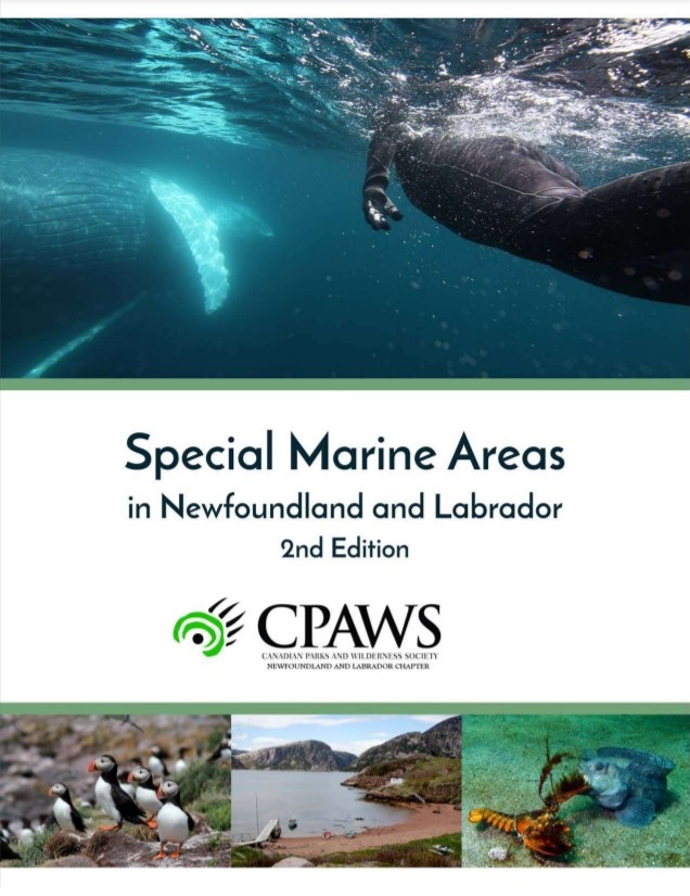
In 2009, CPAWS-NL published the first “Special Marine Areas in Newfoundland and Labrador” guide, which created a collaboration amongst academia, governments, and traditional knowledge to identify and highlight 73 marine areas within the province that required protection and better understanding; a stepping stone to aide marine conservation in Newfoundland and Labrador. This document has been used extensively in marine work throughout the province by an array of stakeholders, and a request for a second edition was made. In 2018, the second edition was released where 73 additional sites were recognized, previous sites were updated, threats were reviewed, and its structure was changed to highlight eco-units, all of which was again completed through a working group of academia, governments, ENGOs, and Indigenous Groups.  

Using the data hub

The Special Marine Areas Data Hub is divided into three sections: the interactive map, the database, and the “Learn” section. Because the data hub is intended to suit a diversity of users and needs, it allows users to engage with the data and information in different ways. 

Interactive Map

Use the interactive map to visualize and overlay datasets on a map. Datasets are classified into ten categories, accessible using the buttons on the bottom of the page.

Database

Use the database to search datasets, visualize, and download for your own use. In order to use most datasets a geographic information software is needed, such as QGIS or ArcGIS.

Learn

Use the LEARN section to read about species, look at maps of their distribution, view photos and videos, and listen to the sounds they make.

funding & Support

The Special Marine Areas Data Hub was funded by Fisheries and Oceans Canada (DFO), the Atlantic Salmon Conservation Foundation (ASCF), and Canadian Parks and Wilderness Society (CPAWS). The project was also supported by many other organizations and individuals through their generous data contributions, input, and presentations, including Salmonid Association of Eastern Newfoundland (SAEN), Dr. William Montevecchi, Emilie Novaczek.